
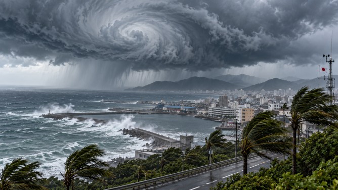
Typhoon Champi is bearing down on southern Japan, bringing with it fears of intense rainfall, strong winds, and treacherous sea conditions. The typhoon, which is the 30th of the year, is on a northwest trajectory and is expected to affect islands southwest of Okinawa through Saturday, prompting authorities to issue warnings for potential natural disasters.
Residents in the affected areas have been advised to stay vigilant for severe weather conditions, including strong gusts, rising tides, and high waves. The risk of localized flooding is heightened, especially if linear rainbands form, leading to extended periods of heavy rain between Friday and Saturday.
In Okinawa Prefecture, wind gusts could reach up to 198 kilometers per hour on Friday and 180 kilometers per hour on Saturday. Rainfall is predicted to amount to 250 millimeters in the 24 hours leading up to 6 a.m. Saturday, with an additional 120 millimeters expected in the subsequent 24 hours. These totals could increase if intense rainbands materialize.
Sea conditions are also anticipated to worsen, with wave heights potentially reaching 12 meters around Okinawa on both Friday and Saturday. As of 5 a.m. Friday, the typhoon was located south of Okinawa, advancing northwest at 15 kilometers per hour with a central atmospheric pressure of 950 hectopascals.
The storm is projected to weaken near the Tsushima Strait, situated between Japan’s Kyushu Island and the Korean Peninsula, before veering eastward. Given the severe weather forecast, authorities urge people in the impacted regions to remain updated with weather reports and take necessary precautions against the impending heavy rain, strong winds, and hazardous coastal conditions.